


Zoom Earth is a premier interactive weather map application that provides real-time tracking of hurricanes, storms, and severe weather conditions. The app offers near real-time satellite imagery updated every 10 to 40 minutes, giving users an accurate view of current weather patterns. With features like rain radar, nowcasting, and detailed weather forecast maps, it allows users to explore various weather elements such as precipitation, wind speed, temperature, and atmospheric pressure.
In addition to its robust weather tracking capabilities, Zoom Earth also monitors wildfires and smoke movement through satellite detection. Users can customize their experience by adjusting temperature units, wind units, time zones, and animation styles. Whether you are a meteorologist, a researcher, or simply someone who wants to stay informed about the weather, Zoom Earth delivers comprehensive data visualization that enhances situational awareness and preparedness.
One of the standout features of Zoom Earth is its ability to provide high-definition satellite images updated twice daily from NASA's Aqua and Terra polar-orbiting satellites. These images offer stunning clarity and detail, allowing users to observe weather systems with precision. The app integrates live satellite feeds from NOAA GOES, JMA Himawari, and EUMETSAT Meteosat geostationary satellites, ensuring global coverage and timely updates.
Zoom Earth excels in its forecasting capabilities, offering continually updated maps based on the latest data from DWD ICON and NOAA/NCEP/NWS GFS models. Users can access forecasts for precipitation, wind gusts, temperature, 'feels like' temperatures, wet bulb temperatures, relative humidity, dew point, and atmospheric pressure. Additionally, the hurricane tracking system provides clear and easy-to-understand information using data from NHC, JTWC, NRL, and IBTrACS, making it an invaluable tool during storm seasons.
The app also includes a wildfire tracking feature that uses active fire and heat spot overlays detected by satellites. This function helps users monitor wildfire movements and assess fire weather conditions in near real-time. For those seeking more advanced features, Zoom Earth Pro offers additional functionalities through auto-renewable subscriptions, enhancing the overall user experience with more customization options and specialized tools.
Forecast accuracy and data credibility are crucial for any weather application, and Zoom Earth excels in these areas. The app provides continually updated weather forecast maps using the latest model data from reputable sources like DWD ICON and NOAA/NCEP/NWS GFS.
Users can explore various forecast maps including precipitation, wind speed, temperature, and atmospheric pressure. These maps offer detailed insights into upcoming weather patterns, ensuring users are well-prepared for changes in weather conditions.
The credibility of Zoom Earth's data is reinforced by its use of real-time satellite imagery and information from authoritative bodies such as NASA and NOAA. This ensures that users receive reliable and accurate weather forecasts, enhancing their ability to make informed decisions based on current and predicted weather conditions.
Zoom Earth offers an impressive temporal and spatial forecast range, allowing users to plan effectively for both short-term and long-term weather changes. The app's weather maps provide extensive coverage across different geographical locations, ensuring comprehensive spatial data availability.
With updates every 10 to 15 minutes from geostationary satellites and twice daily from polar-orbiting satellites, Zoom Earth delivers timely and relevant weather information. This frequency ensures that users have access to the most recent developments in weather patterns, crucial for accurate planning and response.
In addition to spatial coverage, the app includes a variety of forecast durations, from immediate precipitation forecasts to extended outlooks on temperature and wind conditions. This broad temporal scope empowers users to anticipate weather changes accurately, whether they need to prepare for an upcoming storm or plan outdoor activities around favorable weather windows.
Real-time weather updates
High-definition satellite imagery
Comprehensive weather forecasts
Interactive map interface
Customizable settings
Premium features require subscription
Occasional delays in image updates
Limited offline functionality
Advanced features may overwhelm casual users
Subscription auto-renews by default

Get the ad-free version of the highly rated WeatherBug app for accurate weather!
 4.50
4.50
A powerful tool for ultimate weather awareness
3.50
NOAA radar, weather forecasts, hurricane tracking & customizable alerts.
4.50
Super-res, real-time weather radar. Be prepared for extreme weather.
4.50
The reliable and trusted global air quality, wildfire, pollen, PM2.5 forecast
4.70
Aviation weather made simple. Visual decoder for METAR & TAF
4.90
Weather watch face for Wear OS 5+
4.10
Powerful US and worldwide earthquake feed with earthquake alerts and maps.
4.70
Prepare for severe weather with notifications, future radar, and live alerts.
4.60
Local weather forecast app, your personal 7*24 local weather forecast assistant.
4.90
Weather radar, hyperlocal tracker and weather maps: follow your weather station
4.80
Road weather, live radar, wind, snow, and conditions along your driving route.
4.70
Weather radar, satellite, wind, waves, ocean and hurricane forecasts.
4.70
Local forecast, alerts, rain, snow and wind radar, air quality & weather widget
4.60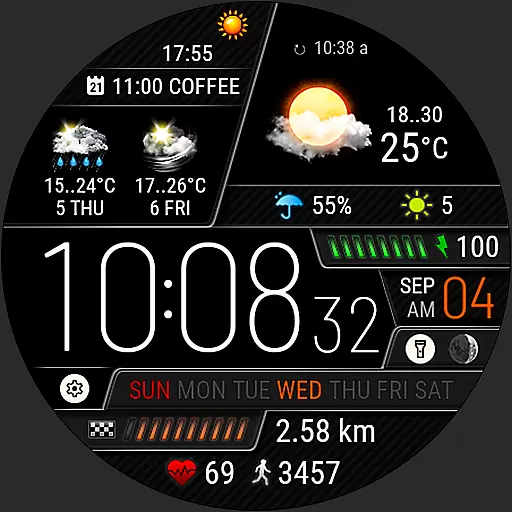
Weather watch face for Wear OS 5+
4.40
Accurate weather forecast and beautiful weather & clock widgets
4.20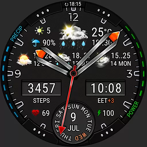
Analog Weather Watch Face for Wear OS 5+
4.10
Stay Ahead Of Changing Weather Conditions
4.00
Retro TV-style digital watch face with weather, heart rate, steps & events!
4.3


User Reviews